By Benjamin Barnett
With the challenges we all have faced over the past six months, we wanted to take a minute to shine some light on the accomplishments we made this summer in improving our ever-expanding bicycle network. Our crews worked all over the city making improvements, adding infrastructure and creating a more robust network.
Biking is more important than ever, both as a means of transportation with Muni service limited and as a way to get some exercise while sheltering-in-place. Where people feel safe and comfortable bicycling, more people ride bicycles. When these bike rides replace car trips, it creates more room on our crowded roadways, reducing traffic congestion. As such, expanding the bicycle network where people can travel comfortably has been a key priority of the SFMTA’s Transportation Recovery Plan.

Fell Street
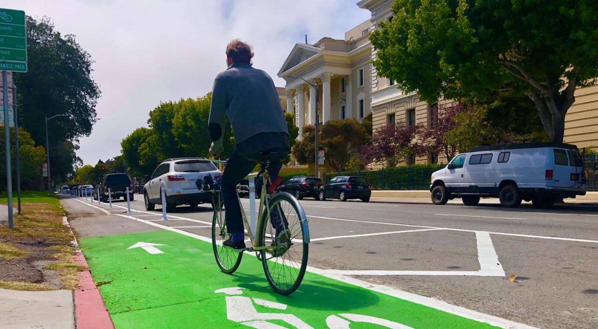
The new parking-protected bikeway on Fell Street between Baker and Shrader streets provides relief to over-crowding and supports physical distancing efforts for the popular Panhandle Pathway. The number of bikes observed on the pathway shows a huge jump in users over the last few months, and this new bikeway will benefit people on bikes as well as the walkers and joggers that frequent the area.
On the street, the protected bike lane reduced mixed travel lanes from four to three while simultaneously preserving most of the parking. You now can ride from the Wiggle all the way past the Panhandle without having to navigate around anyone going the opposite way.

Embarcadero
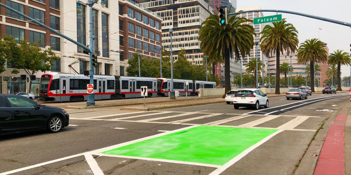
The Embarcadero is one of San Francisco’s most iconic destinations and landmarks. It is a thriving business corridor, a key transportation artery and a popular recreational route. Improving this vital city resource is something the Port of San Francisco and SFMTA have been in constant collaboration for years. As part of the Embarcadero Enhancement Project, new bike lanes are being installed this week between Folsom and Mission streets. This new improvement is a great step in improving a critical part of the High Injury Network that is a major focus for achieving the Vision Zero goals for the city.

Third Street Bridge
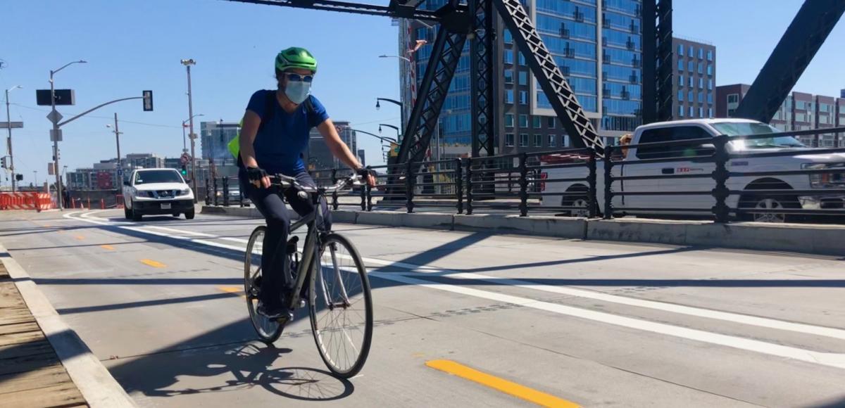
The Third Street Bridge quick build has completed a new two-way bikeway across the Lefty O’Doul (Third Street) Bridge to connect the Promenade/King Street and Terry Francois Boulevard. The protected bikeway has provided dedicated space for people on bicycles and reduced the risk of conflicts with vehicles. This connection closed a critical gap in our bike network by connecting the Embarcadero to the San Francisco Bay Trail.
And Just in case you didn’t know, the Third Street Bridge is rather famous: Lefty O'Doul has been in quite a few movies. The bridge was used for the 1973 Clint Eastwood movie Magnum Force and the 2015 movie San Andreas starring Dwayne Johnson and Alexandra Daddario. Want to watch Roger Moore jump a fire truck over Lefty O’Doul in a chase sequence in the 1985 James Bond film A View to a Kill? Here you go, enjoy!
Pedaling Forward
The need for more bicycling infrastructure has become increasingly important as the way we move around the city continues to evolve. We want to ensure our commitment to expanding this network and connecting our city through the many new programs like Slow Streets, Shared Spaces and neighborhood ways. Let us know how we can improve your commute further in the comments section below.
Published August 27, 2020 at 10:13PM
https://ift.tt/3jkoAIX
Comments
Post a Comment