By Adrienne Heim

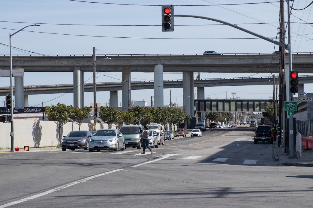
Pedestrian crossing Evans Avenue at Napoleon Street
This month we are reaching out to community groups and businesses along Evans Avenue for feedback on making this corridor safer and more inviting for everyone, by means of a Quick-Build project.
Entering Evans Avenue from Cesar Chavez Street eastbound toward the Bayview-Hunters Point neighborhood, the street offers an unusual prospect for a corridor in San Francisco. Passing under freeway lanes and railway tracks, past industrial parks, retail and government buildings, the street eventually connects to Heron’s Head Park at Jennings Street.
Named after Robley D. Evans, a Commander in the U.S. Navy from 1864-1908, Evans Avenue served as one of three vital routes into the Hunters Point Naval Shipyard when it was operating from 1940 to 1974. Between Cesar Chavez and 3rd streets, the roadway consists of two travel lanes in both directions. The average traffic volume along this 0.7-mile stretch ranges from 12,000 vehicles per day (near 3rd Street) to 23,000 (near Cesar Chavez Street).
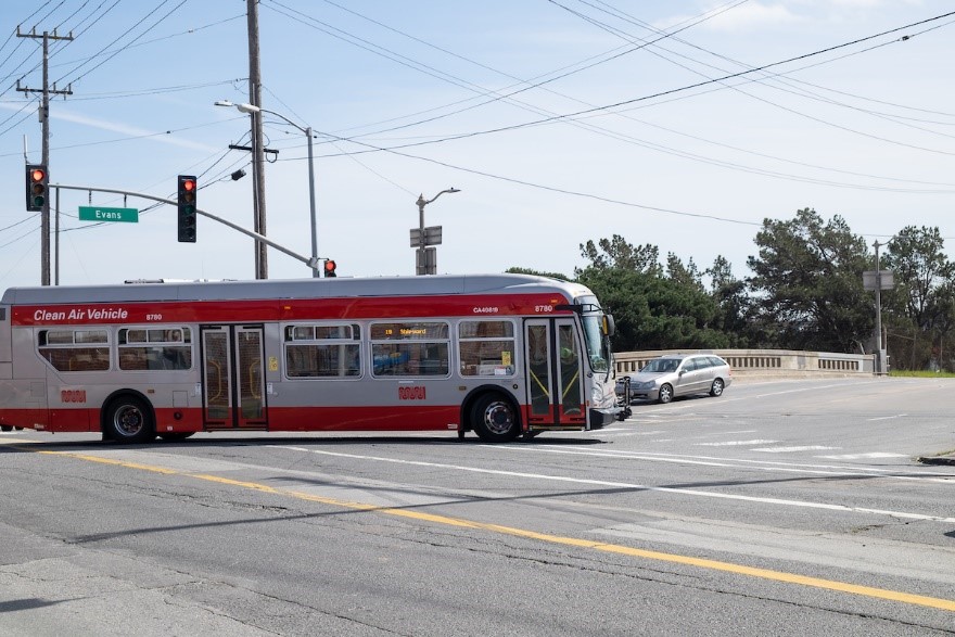
Muni’s 19 Polk serves Evans Avenue and connects to Muni lines including the T Third, 15 Bayview Hunters Point Express, 44 O'Shaughnessy and 91 3rd/19th Avenue Owl.
Why a Quick-Build project for Evans Avenue?
A quick-build project allows us to increase safety for all users of Evans Avenue by implementing relatively fast improvements with inexpensive treatments within months, such as: paint, traffic delineators, street signs and parking and loading adjustments. (See gallery below for examples of such treatments).

19 Polk turning off Cesar Chavez Street onto Evans Avenue
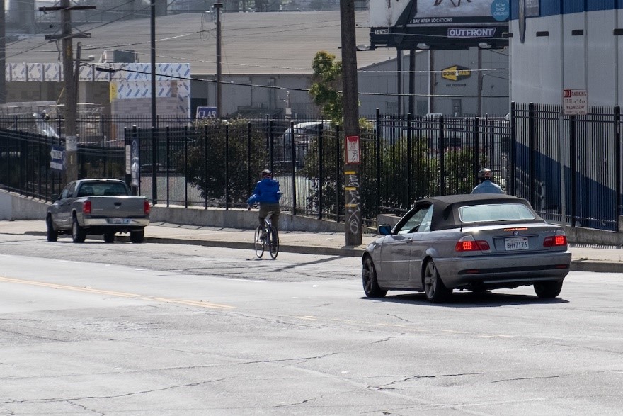
Evans Avenue is also a bike route, connecting bike lanes south of 3rd Street and on Cesar Chavez Street.

A person riding a bicycle eastbound on Evans Avenue
Evans Avenue is on San Francisco's Vision Zero High Injury Network, the 13% of San Francisco streets where 75% of the city’s traffic injuries and fatalities occur. From 2015 to 2020, 81 traffic collisions have been reported on Evans Avenue between Cesar Chavez and 3rd streets. This corridor is seeing rising traffic and the potential for conflicts due to ongoing and future development in the area.

We have developed three design concepts to improve transportation safety along this stretch of Evans. Now, we want your feedback.
You can take our survey online or place your cell phone camera over the QR code.

The survey will be open until May 21, 2021.
We will analyze the feedback received from this survey and from direct outreach to local stakeholders before moving forward to the Engineering Public Hearing. After that, this project will be submitted to the SFMTA Board for review and approval. If given the green light, construction is expected to begin in fall 2021.
Learn more about the project and subscribe to project updates by visiting the Evans Avenue Quick-Build Project: Improving safety and access on Evans Avenue
Published May 04, 2021 at 11:11PM
https://ift.tt/3vEBzLO
Comments
Post a Comment