Traffic Collisions have Decreased on San Francisco’s Slow Streets

Traffic Collisions have Decreased on San Francisco’s Slow Streets
By Julia Malmo

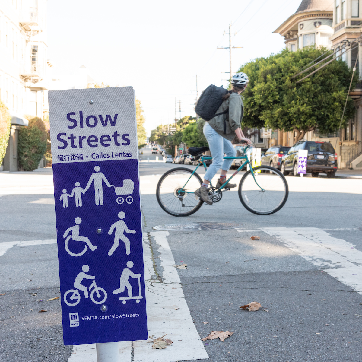
 Close up image of a street sign with the words "Slow Streets." Under white figurine wheel users and pedestrians are seen. There is a bicyclist in the background

As a whole, Slow Streets are safer than they were before being designated Slow Streets 

Streets that are part of the SFMTA’s Slow Streets Program have become measurably safer since the program began in 2020, with the number of traffic crashes falling by almost half. On average, these corridors have seen a 48% drop in collisions following their designation as Slow Streets, compared with a 14% drop in collisions citywide over the same period. Slow Streets also are more welcoming for people who walk, bike and roll. Fewer than 1,000 vehicles per day use all but four of the current Slow Streets (20th Street, Minnesota Street, Noe Street, and Page Street). 

The goal of the program is to create safe, shared streets that are comfortable and enjoyable for people of all ages and abilities, using any mode of transportation. We now can see how it’s doing in a new evaluation report.

When the SFMTA Board approved the permanent Slow Streets Program in December 2022, the Directors required that every Slow Street meet certain safety and comfort targets: average vehicle speeds of less than 15 miles per hour (MPH) and average daily vehicle volumes lower than 1,000. The Slow Streets team has been collecting between January 2023 and April 2023 to understand how the streets are performing. We placed pneumatic tubes every four blocks along Slow Street corridors in January of this year to collect vehicle volume and speed from 16 of the 18 streets currently in the program (Cayuga Avenue and 22nd Street were not included in the analysis because they are not yet implemented).  

Not only is traffic volume down, but all the Slow Streets have median speeds of 20 MPH or slower. However, most have not met the 15 MPH target set by the Board. This means that traffic still is not moving slowly enough for our most vulnerable road users to feel safe. 

 The Slow Streets team will begin working on these changes now with updated designs expected by this summer. 

Here is the 2023 Slow Streets Design Toolkit  (SFMTA.com/SlowStreetsToolkit) including details on the methodology used in the evaluation, along with individual corridor findings. To learn more about next steps, Signup for Email and SMS Alerts from the Slow Streets Program (SFMTA.com/SlowStreets) and individual corridors. We look forward to sharing more about how this data will inform next steps for Slow Streets designs across San Francisco! 


Published May 02, 2023 at 06:33PM
https://ift.tt/pPLsC24

Comments

Popular posts from this blog

Reconnecting San Francisco Across Streets and Freeways

Reconnecting San Francisco Across Streets and Freeways By With limited space on San Francisco city streets, how can we ensure that current and future transportation options remain accessible and affordable to all? The San Francisco County Transportation Authority (SFCTA), the SFMTA and the San Francisco Planning Department are collaborating through ConnectSF in creating a template for an equitable, sustainable and effective future. Their Streets and Freeways Strategy examines approaches that support San Francisco’s Transit-First , Vision Zero , climate action , and equity goals .  The strategy complements the Transit Investment Strategy released in April 2021. SFMTA staff provided expertise in developing the strategy and is leading the Active Transportation component, exploring ways to build a connected network of bike and pedestrian routes across the city that make biking and walking safe and enjoyable. SFMTA staff from across the agency also developed strategies to ma

Have Feedback on the COVID-19 Muni Temporary Service Plan?

Have Feedback on the COVID-19 Muni Temporary Service Plan? By Shalon Rogers In March 2020, due to unprecedented constraints on resources brought on by the COVID-19 pandemic, the SFMTA had to make significant transit service reductions. As of January 2021, the agency has been able to restore service to a level where 91% of San Franciscans are within a quarter mile of a transit stop. This is reflected in the SFMTA’s current  COVID-19 Temporary Service Plan .   ' COVID-19 Temporary Service Plan Map The SFMTA is committed to ensuring that our programs and services are  compliant with Title VI of the Civil Rights Act of 1964  and therefore do not have a discriminatory impact based on race, color or national origin. As part of this work, we conducted a Title VI service equity analysis to evaluate the current COVID-19 Temporary Service Plan. The results of this analysis will be presented to the MTA Board of Directors on May 4. The public is invited to attend and provide comments on

Chinatown Connects to Muni Metro

Chinatown Connects to Muni Metro By Deanna Leo With the completion of Central Subway, customers will be able to ride the T Third Muni Metro all the way from Visitacion Valley to Chinatown. Starting November 19, when Muni Metro riders can first take Central Subway's special weekend service to Chinatown,  prepare to spend the day in Chinatown enjoying all its sights, sounds and flavors. There is so much to explore in the largest Chinatown outside Asia! Tourist attractions include the Dragon’s Gate, Old St. Mary’s Cathedral and Portsmouth Square, the site of San Francisco’s original customs house where today, members of the Chinese community spend the days singing or playing mahjong, a traditional and very popular tile-based game. Fans of Amy Tan’s novel, The Joy Luck Club, can meander the streets of Chinatown searching for the places where her story unfolds. On Wavery Place you can visit the First Baptist Church where the four mothers in the story meet to play mahjong. Muni M